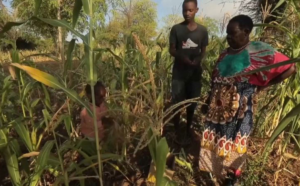
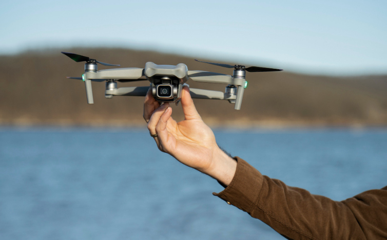
Sometimes, when a hiker gets lost in Scottish Highlands, it sends up a drone to search for clues such as trampled vegetation or dropped clothing, but with so much ground to cover and so little battery life, choosing where exactly to search is key.
Typically, a skilled drone pilot uses intuition mixed with a World War II strategy to decide where to search. Jan-Hendrik Ewers and colleagues at the University of Glasgow wondered if a machine-learning system could do better.
Ewers had grown up skiing and hiking through the Highlands and knew the difficulties of rescue operations there. “There wasn’t much to do growing up other than spending time outdoors or sitting in front of my computer,” he says. “I ended up doing a lot of both.”
He started with data from search-and-rescue cases worldwide that included information such as people’s age, activity level and where they were found. He trained an AI model on this data along with geographical information about Scotland. The model runs millions of simulations that reflect likely routes that a missing person might take. The result is a heat map showing priority areas where the team should concentrate its search efforts. Deep learning could design more efficient paths for drones searching for missing people, the researchers showed; in tests Ewers’s algorithm found missing people more often than traditional methods did.
If successful during real rescues, this system could save lives by speeding response times.
“The search-and-rescue domain in Scotland is extremely varied and dangerous,” Ewers says. Emergencies can arise in thick forests, steep mountains or treacherous rock climbing areas. “Being able to send up a drone and efficiently search with it could potentially save lives,” he says.
Using deep learning to design better drone routes could help find missing persons faster in many wilderness areas — depending on how well-suited those places are for drones.
But this approach hinges on how accurate the probability maps are. If maps are wrong, drones may search the wrong areas for too long.
The next step, Ewers says, is to get more training data — possibly using GPS information from recent rescues — to improve the accuracy of the maps.
Drones are becoming more common in search and rescue but are still relatively new. Rules around their use are still evolving. For example, in the United States, drone pilots must keep the drone in sight at all times; in Scotland, a drone can’t be more than 500 meters away from its operator. Such rules are meant to prevent accidents but can hamper search efforts.
“Often we face regulatory problems rather than technical ones,” says David Kovar of the National Association for Search and Rescue in Washington, D.C. “Drones can do much more than we’re allowed to use them for.”
Models like Ewers’s could extend what drones are capable of doing, he hopes. He is talking with the Police Scotland Air Support Unit to see what it would take test and deploy his system.
Source: technologyreview